Lane B -
Stand 24
PARALLELE 45
Return to Exhibitors CatalogActivity sector :
Themed pathways :
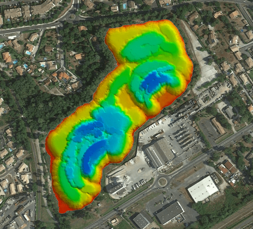
PARALLELE 45 is a company based in Gironde that has been specialising in topographical surveying for 29 years in France and abroad. Since 2017, it has been using aerial drones (photo, thermal and Lidar cameras) and marine drones (multibeam) to carry out photogrammetry, imaging, mapping, bathymetry and inspection missions in the fields of the environment, heritage, architecture, industry, agriculture and infrastructure. To date, more than 500 drone survey missions have been carried out.
Contact
Brand(s) :
DJI, GEOD
-
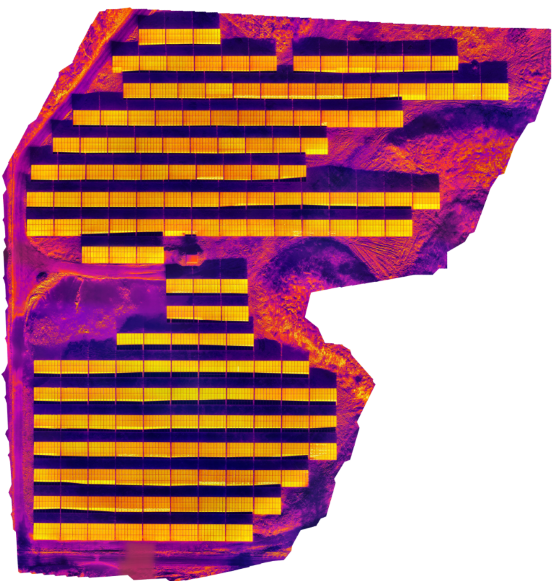
Auscultation of a photovoltaic power plant with #photovoltaic thermal collector
PARALLELE 45
-

Analysis of a vineyard plot Grand Cru Classé - St Emilion #agriculture
PARALLELE 45
-
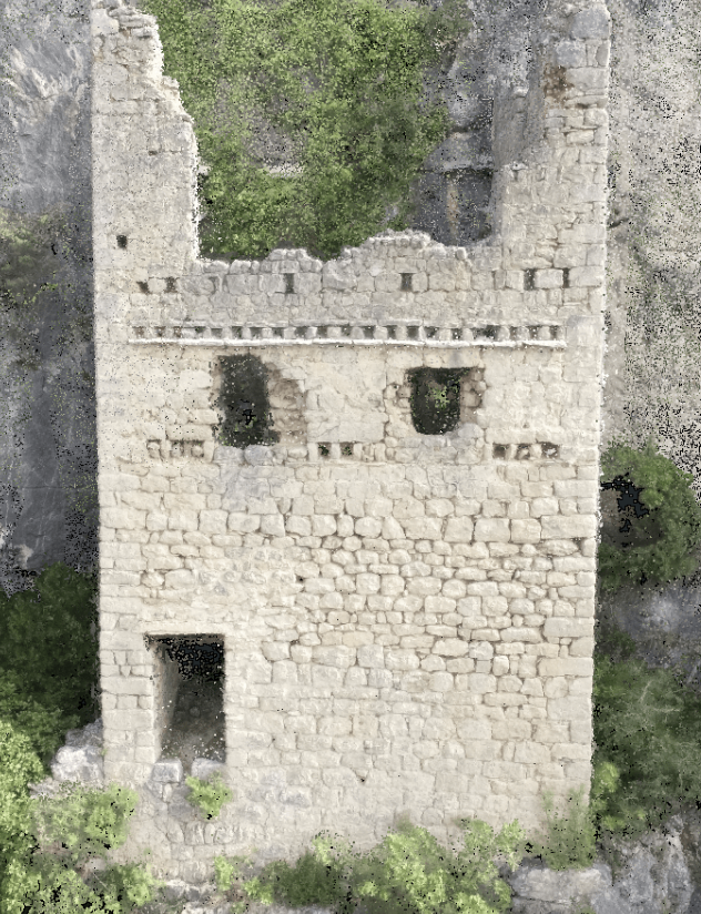
Digital twin of a heritage vestige #heritage
PARALLELE 45
-
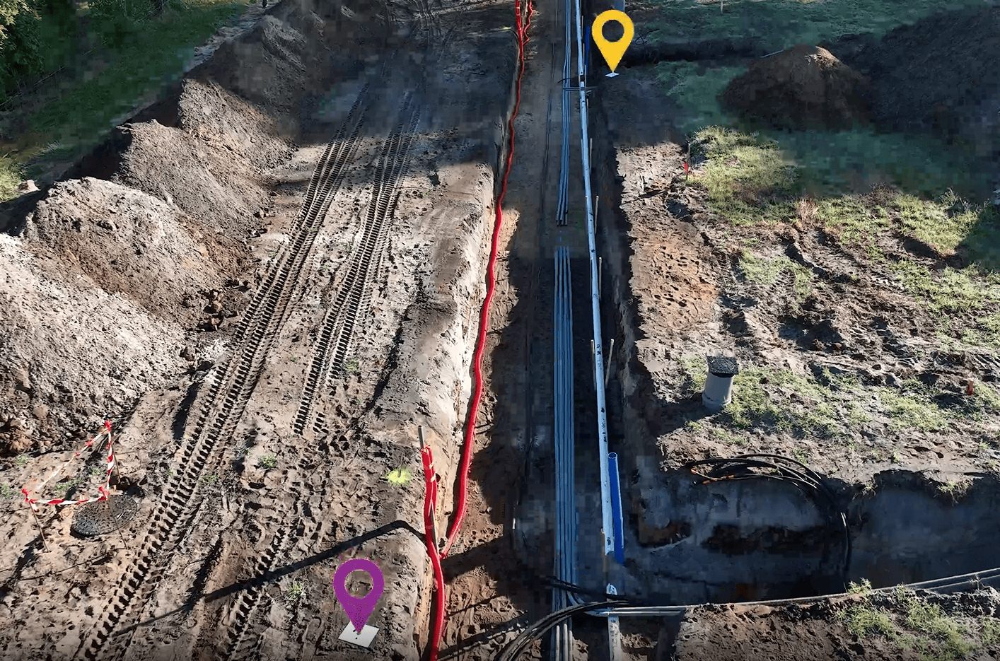
Open-trench network survey #public works
PARALLEL 45
-
Underwater digital terrain model #bathymetry
PARALLELE 45